


Woods Creek 🇺🇸
-
Nautical Twilight begins:05:01 amSunrise:06:13 am
-
Sunset:08:07 pmNautical Twilight ends:09:19 pm
-
Moonrise:06:37 am
-
Moonset:08:24 pm
-
Moon over:01:30 pm
-
Moon under:12:53 am
-
Visibility:0%
-
 New Moon
-
Distance to earth:390,846 kmProximity:34.9 %
Moon Phases for Woods Creek
-
excellent Day
-
minor Time:
 05:37 am -
07:37 am
05:37 am -
07:37 am
-
major Time:12:30 pm - 02:30 pm
-
minor Time:
07:24 pm -
09:24 pm
-
major Time:11:53 pm - 01:53 am
Tide Clock
Tide Graph
Times
| Tide | Time | Height |
|---|---|---|
| high | 04:59 am | 9.84 ft |
| low | 11:35 am | -0.95 ft |
| high | 06:43 pm | 11.09 ft |
| Date | Major Bite Times | Minor Bite Times | Sun | Moon | Moonphase | Tide Times |
|---|---|---|---|---|---|---|
|
Sat, 23 Aug
|
12:30 pm -
02:30 pm
11:53 pm -
01:53 am
|
05:37 am -
07:37 am
07:24 pm -
09:24 pm
|
R: 06:13 am S: 08:07 pm |
R: 06:37 am S: 08:24 pm |
New Moon |
high: 04:59 am
, 9.84 ft
, Coeff: 74
low: 11:35 am
, -0.95 ft
high: 06:43 pm
, 11.09 ft
, Coeff: 93
|
|
Sun, 24 Aug
|
12:39 am -
02:39 am
01:14 pm -
03:14 pm
|
06:50 am -
08:50 am
07:38 pm -
09:38 pm
|
R: 06:14 am S: 08:05 pm |
R: 07:50 am S: 08:38 pm |
New Moon |
low: 12:28 am
, 4.36 ft
high: 05:48 am
, 9.71 ft
, Coeff: 72
low: 12:13 pm
, -0.13 ft
high: 07:04 pm
, 11.02 ft
, Coeff: 92
|
|
Mon, 25 Aug
|
01:22 am -
03:22 am
01:56 pm -
03:56 pm
|
08:00 am -
10:00 am
07:52 pm -
09:52 pm
|
R: 06:16 am S: 08:03 pm |
R: 09:00 am S: 08:52 pm |
Waxing Crescent |
low: 01:03 am
, 3.58 ft
high: 06:36 am
, 9.51 ft
, Coeff: 69
low: 12:49 pm
, 0.92 ft
high: 07:26 pm
, 10.93 ft
, Coeff: 91
|
|
Tue, 26 Aug
|
02:02 am -
04:02 am
02:37 pm -
04:37 pm
|
09:08 am -
11:08 am
08:06 pm -
10:06 pm
|
R: 06:17 am S: 08:01 pm |
R: 10:08 am S: 09:06 pm |
Waxing Crescent |
low: 01:37 am
, 2.82 ft
high: 07:26 am
, 9.25 ft
, Coeff: 65
low: 01:25 pm
, 2.2 ft
high: 07:49 pm
, 10.79 ft
, Coeff: 89
|
|
Wed, 27 Aug
|
02:44 am -
04:44 am
03:19 pm -
05:19 pm
|
10:17 am -
12:17 pm
08:21 pm -
10:21 pm
|
R: 06:18 am S: 08:00 pm |
R: 11:17 am S: 09:21 pm |
Waxing Crescent |
low: 02:12 am
, 2.13 ft
high: 08:17 am
, 9.02 ft
, Coeff: 61
low: 02:01 pm
, 3.58 ft
high: 08:14 pm
, 10.53 ft
, Coeff: 85
|
|
Thu, 28 Aug
|
03:28 am -
05:28 am
04:03 pm -
06:03 pm
|
11:26 am -
01:26 pm
08:40 pm -
10:40 pm
|
R: 06:20 am S: 07:58 pm |
R: 12:26 pm S: 09:40 pm |
Waxing Crescent |
low: 02:49 am
, 1.61 ft
high: 09:13 am
, 8.83 ft
, Coeff: 58
low: 02:40 pm
, 4.95 ft
high: 08:42 pm
, 10.14 ft
, Coeff: 78
|
|
Fri, 29 Aug
|
04:15 am -
06:15 am
04:49 pm -
06:49 pm
|
12:36 pm -
02:36 pm
09:02 pm -
11:02 pm
|
R: 06:21 am S: 07:56 pm |
R: 01:36 pm S: 10:02 pm |
First Quarter Moon |
low: 03:29 am
, 1.28 ft
high: 10:16 am
, 8.66 ft
, Coeff: 55
low: 03:23 pm
, 6.23 ft
high: 09:12 pm
, 9.65 ft
, Coeff: 71
|


uploaded by: Joey Piercefield

uploaded by: Wayne Robinson_1

uploaded by: PetrolDriver

uploaded by: PetrolDriver
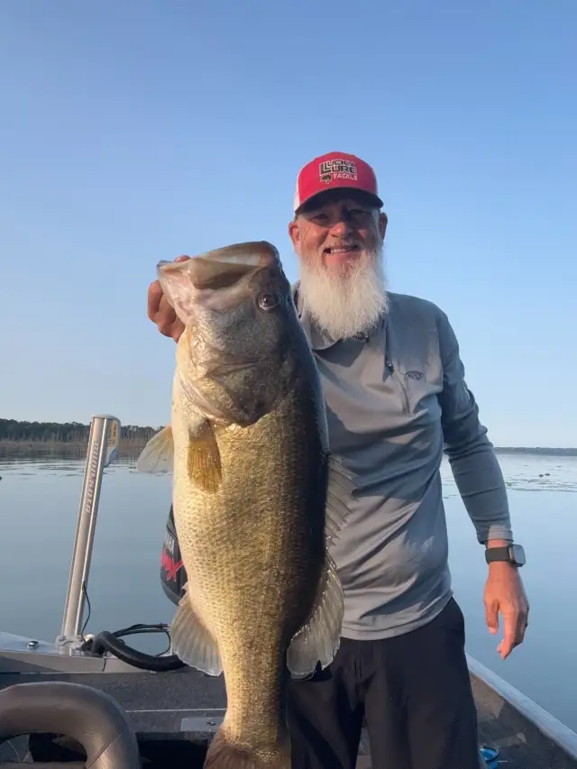
uploaded by: bandedwd

uploaded by: todd douglas

uploaded by: primerone
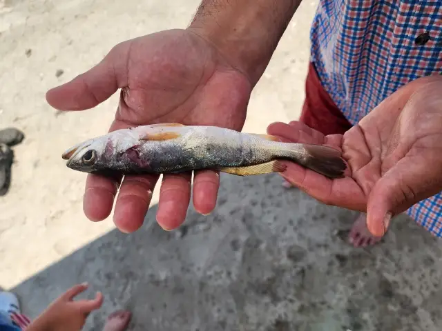
uploaded by: Ryan Frazier

uploaded by: Hoza

uploaded by: Alan Baker
Best Fishing Spots in the greater Woods Creek area
We found a total of 81 potential fishing spots nearby Woods Creek. Below you can find them organized on a map. Points, Headlands, Reefs, Islands, Channels, etc can all be productive fishing spots. As these are user submitted spots, there might be some errors in the exact location. You also need to cross check local fishing regulations. Some of the spots might be in or around marine reserves or other locations that cannot be fished. If you click on a location marker it will bring up some details and a quick link to google search, satellite maps and fishing times. Tip: Click/Tap on a new area to load more fishing spots.
Wagner Lake - 3km , Lake Cochran - 5km , Chain Lake - 6km , Wellin Lake - 6km , Sultan River Bridge - 6km , Lake Fontal - 7km , McCoy Creek Dam - 7km , Meadow Lake - 7km , Woods Lake - 7km , Freeman Dam - 8km , Lake Hannan - 8km , Johnsons Swamp - 8km , King Lake - 8km , Lost Lake - 8km , Sultan Mill Pond Dam - 8km , Chaplain Lake South Dam - 9km , Lake Elsie - 9km , Ida Lake - 9km , Storm Lake - 9km , Winters Lake - 9km , Bevis Lake - 10km , Lake Bronson - 10km , Flowing Lake - 10km , Hughes Lake - 10km , Japanese Lake - 10km , Kellog Lake - 10km , Three Lakes - 10km , Cedar Ponds Lake - 11km , Chaplain Lake North Dam - 11km , Crescent Lake - 11km , Dagger Lake Dam - 11km , High Bridge - 11km , Lakes Unlimited Dam - 11km , Panther Lake - 11km , Soup Hole - 11km , Tomtit Lake - 11km , Trestle Swamp - 11km , Lake Margaret Dam - 12km , Long Lake - 12km , Poplin Dam - 12km , Treen Lake - 12km , Lake Roesiger - 13km , Round Lake - 13km , Wallace River Bridge - 13km , Airplane Lake - 14km , Cherry Lake - 14km , Devils Lake - 14km , Drunken Charlie Lake - 14km , Beaver Lake - 15km , Lake Beecher - 15km , Builders Dam - 15km , Echo Lake - 15km , Shadow Lake - 15km , Blackmans Lake - 16km , Burns Dam - 16km , Haleyon Lake - 16km , Pilchuck River Dam - 16km , Rasmussen Lake - 16km , Tuck Lake Dam - 16km , Bengston Lake - 17km , Paradise Lake - 17km , Little Menzel Lake - 18km , Menzel Lake - 18km , Stitch Lake - 18km , Bosworth Lake - 19km , Carlson Pond - 19km , Connor Lake - 19km , Loutsis Dam - 19km , O'Brians Lake - 19km , Obrien Dam - 19km , Sawns Mill Pond Dam - 19km , Boyd Lake - 20km , Cottage Lake - 20km , Hanson Lake - 20km , Lake Joy - 20km , Six Lake - 20km , Smelling Lake - 20km , Lake Stevens - 20km , Twin Falls Lake - 20km , Welcome Lake Dam - 20km , Novelty Bridge - 20km
Comments